文件:Countries with autonomous regions.png

本预览的尺寸:800 × 351像素。 其他分辨率:320 × 140像素 | 640 × 281像素 | 1,425 × 625像素。
原始文件 (1,425 × 625像素,文件大小:37 KB,MIME类型:image/png)
Saegmangj
| 描述 |
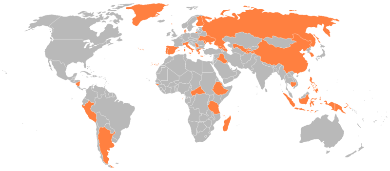
English: Countries with an autonomous region. |
| 日期 | |
| 来源 |
en:Image:Countries with autonomous regions.png Originally uploaded 21:09, 9 January 2008 (UTC) by Genjix (talk • contribs) to en:Wikipedia (log). |
| 作者 | en:User:Genjix |
| 授权 (二次使用本文件) |
{{PD-user-en}} |
许可协议
| 本作品已被作者YinghyijVigibakgoh的Genjix释出到公有领域。这适用于全世界。 在一些国家这可能不合法;如果是这样的话,那么: Genjix无条件地授予任何人以任何目的使用本作品的权利,除非这些条件是法律规定所必需的。 |
文件历史
点击某个日期/时间查看对应时刻的文件。
| Ngoenz/Seizgan | 缩略图 | 大小 | Bouxsawjyungh | Gejgangj | |
|---|---|---|---|---|---|
| seizneix | 2016年4月30日 (Loeg) 20:05 | | 1,425 × 625(37 KB) | Janitoalevic | Colored Faroe Islands |
| 2016年4月30日 (Loeg) 20:00 |  | 1,425 × 625(37 KB) | Janitoalevic | Original size and colors | |
| 2016年4月30日 (Loeg) 03:39 |  | 1,918 × 1,020(146 KB) | Bettyreategui | Imagen equivocada, mi error | |
| 2016年4月30日 (Loeg) 03:36 |  | 1,918 × 1,020(146 KB) | Bettyreategui | El Perú tiene a su capital y la ciudad del Callao como ciudades con elevación de regiones | |
| 2012年2月5日 (Ngoenz) 20:25 |  | 1,425 × 625(54 KB) | Mapmaster | Colors were passed (Rusdsian Islands and West part of New Guinea) | |
| 2012年2月5日 (Ngoenz) 20:22 |  | 1,425 × 625(54 KB) | Mapmaster | The Russian Islands and the Indonesian Part of New Guinea were colored. | |
| 2008年8月26日 (Ngeih) 16:01 |  | 1,425 × 625(31 KB) | RsAzevedo | {{Information |Description={{en|1=Countries with an autonomous region.}} |Source=en:Image:Countries_with_autonomous_regions.png |Author=en:User:Genjix |Date= |Permission= |other_versions= }} <!--{{ImageUpload|full}}--> |
文件用途
没有页面使用本文件。